


Senda Camille | 7 days | Pyrenees | 730€ |
PRESENTATION
The name of the bear that spent more than 25 years prowling through the valleys of the Aragonese Pyrenees, Navarre and the French Bean gives its name to this 7-stage trek in the Pyrenean mountain range. The Camille trail runs for more than 100 kilometers and accumulates more than 8000 meters of elevation which, in addition to revealing the natural habitat of the bear, allows us to immerse ourselves in some of the most beautiful and isolated valleys in the Pyrenees, such as the Echo Valley, the Valley of the Sarrios, the Beech forest on the north face of Aspe, the solitary refuge of Arlet, the impressive spiers of the Ansabére, the ibones de Arlet and Estanés, the cirque de Lescún, the throat of Laspe or discovering the Petrichema.
ITINERARY
We propose 7 days of trekking with 6 nights in shelters, all of them located in places of great beauty, enough time to enjoy this spectacular environment:
STAGE 1:
Gabardito Refuge - Salto la Vieja - Plandániz -Collado de Foratón - (Bisaurín) - Lizara.
Time: 3-4 hours (6 hours if we go up to the Bisaurín).
Distance: 9.6 km
Positive difference in altitude: 693 m
Negative difference: 536 m. Almost 700 m more if we climb the Bisaurín
STAGE 2:
Lizara Refuge - Paúl de Bernera - Valle de los Sarrios - Ibón d’Estanés - Bosque de las Hayas - Somport.
Time: 6-7 hours.
Distance: 17.4 km
Positive difference in altitude: 1070 m
Negative difference: 980 m
STAGE 3:
Aysa Lodge - Sansanet Forest - Espelunguère Forest -Col de Lapachouaou - Lac d’Arlet.
Time: 6-7 hours.
Distance: 18.9 km
Positive difference: 1150 m
Negative difference: 780 m
STAGE 4:
Arlet refuge - Col de Saoubathou - Port de lo Palo - Labrenère - Lescun.
Time: 7-7: 30 h.
Distance: 19.5 km
Positive difference: 520 m
Negative difference: 1640 m
STAGE 5:
Lescun Hut - Mazouza - Ansabère - Col de Petrechema - Foyas del Ingeniero - Linza.
Time: 7 h.
Distance: 16.6 km
Positive difference in altitude: 1,290 m
Negative difference: 790 m
STAGE 6:
Linza - Paso del Caballo - Plana de Diego - Foyas de Gamueta -Paso de Anzotiello -Guarrinza - Selva de Oza.
Time: 6 h.
Distance: 15.3 km
Positive difference: 800m
Negative difference: 1050m
STAGE 7:
Selva de Oza - Refuge of Acher - Achar de los Hombres - Foya de Secús -Taxeras - Gabardito.
Time: 7:30 h.
Distance: 15.3 km
Positive difference in altitude: 1,300 m
Negative difference: 1040 m
MATERIAL NECESARIO
LUGAR
Macizo del Monte Rosa.
Alpes suizos e italianos.
FECHAS
Del 17 al 25 de Julio
Del 14 al 22 de Agosto
(Añadir un día antes y después de viaje)
Nº PARTICIPANTES
8 máximo por guía
DIFICULTAD TÉCNICA
Baja
EXIGENCIA FÍSICA
Media
INCLUYE
- Guía Titulado
- Refugios a media pensión
durante el trekking
- Alojamiento el primer y último día
antes de comenzar el trekking
- Seguro de Accidentes
- Seguro de RC
NO INCLUYE
- Traslado
- Picnic los días de trekking
- Comidas ni cenas los días
que no estemos en el trekking
WHERE
Pyrenees
DATES
June to October
HOW MANY DAYS
7 días, 6 noches.
Nº PARTICIPANTS
10 máximo por guía
TECHNICAL LEVEL
Low
ACTIVITY LEVEL
Moderate
INCLUDED
- Mountain leader UIMLA
- Hut accomodation half board.
- RC Insurance
NOT INCLUDED
- Transfer
- Picnics and lunchs.
- Travel and rescue insurance
PRECIO
730 € / persona
-
Backpack 45l.
-
Flexible hiking boots.
-
Trekking sticks
-
Warm clother, primaloft, fleece, etc.
-
Waterproof jacekts and pants
-
Cap and fine gloves.
-
Liner sleeping bag
-
Sun protector and lip balm
-
Sunglasesses
-
Headlamp and spare batteries
-
Canteen
Senda Camille | 7 days | Pyrenees | 730€ |
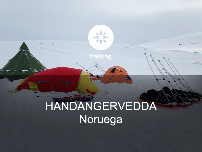
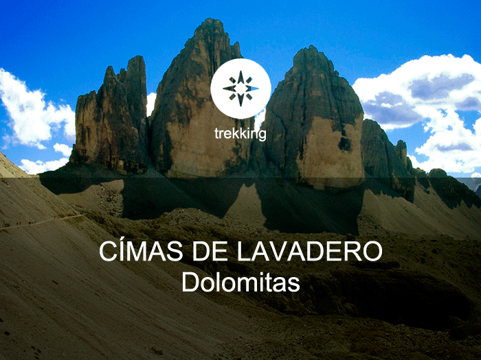
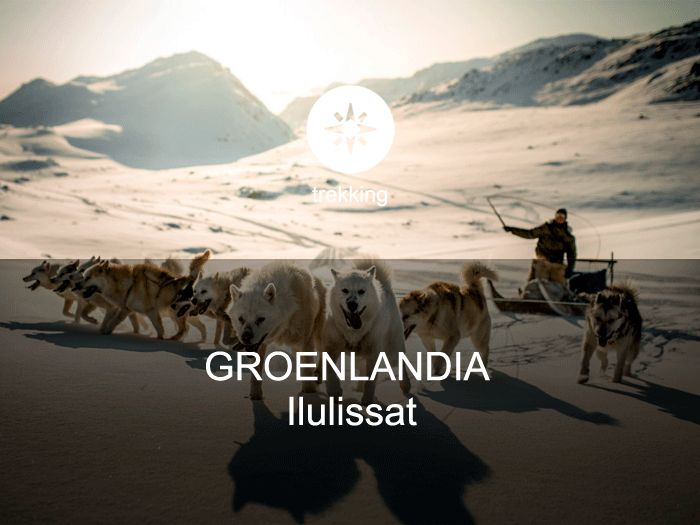
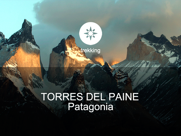
May be you are interested also in...
 |  |  |  |  |
|---|---|---|---|---|
 |  |  |  |  |
 |  |  |  |  |
 |  |  |  |